Well, we had plans to be in San Francisco for Halloween, and that gave us a couple of days to spend in between the Redwoods and the Bay. We’re finding that the State Parks in CA are not nearly as RV friendly as those in Oregon. After much research, and discussion, we booked a couple of nights in Fort Bragg.
It was OK, but I don’t really recommend it. The RV park was fine, but Fort Bragg was kind of a pain to get to, and some of the sites over-hyped.
On the way in, we debated our route… do we take highway “1” down the coast, or stay longer on 101 South and cut West on “20”? Mapping software seemed to suggest 1, but the RV park directions explicitly call out 101->20. I was trying to minimize our travel time so I could catch the Cards game. Based on Kim’s timeline for the “1” route, and the RV park recommending 20, we took 101 to 20. It turned out to be “dumb luck”. Kim’s estimate of the time was off by about 1/2 hour, but in talking with the RV park managers, we probably would have had to turn around if we had taken 1.
That said, highway 20 was EXTREMELY windy, hilly, and narrow in spots. Thankfully, it was freshly re-surfaced. Drives like the 30 miles on highway 20, makes me very thankful for my 11,000 miles of experience driving the RV!
I felt like somebody didn’t want me to watch the Cardinals game! The game started just as we turned off of 101 and got onto 20. I pulled over, searched the radio (unsuccessfully) for ESPN radio, fired up the MiFi and got ESPN Radio on my phone (using the “tunein” app). So happy I had the game. About 2 minutes in, Wainright was already in a jam, and we lost our AT&T signal. By the time we got it back, it was the bottom of the 3rd, and Cards were down 1-0.
When we got to the RV park, and Kim was checking it, I checked the ATT signal… nothing. Then I fired up the generator to run the TV and check the broadcast signal… nothing. Then Kane was able to get the RV Park WiFi. So we started following the updates on his Kindle. Soon after Matt Holliday hit a game-tying homer.
We got to our campsite, hurried to setup, got the cable TV setup. We had 30 channels, but for some reason FOX was near-complete snow with no audio. I was ready to explode! Thankfully, the Davises who sold us the RV gave us a 30 foot coax cable. I went out, got the long cable, and ran it to the campsite behind us (nobody in it). The FOX signal was “PERFECT”. Yeah! Then the Cards lost the game. (probably my fault).
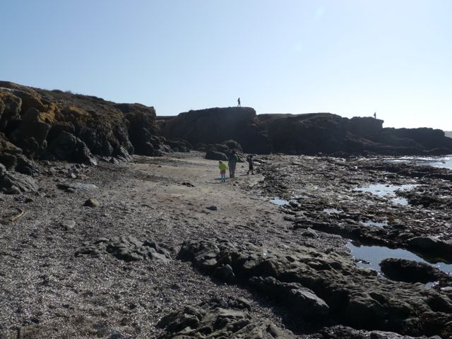
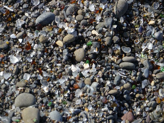
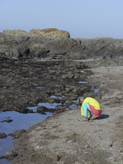
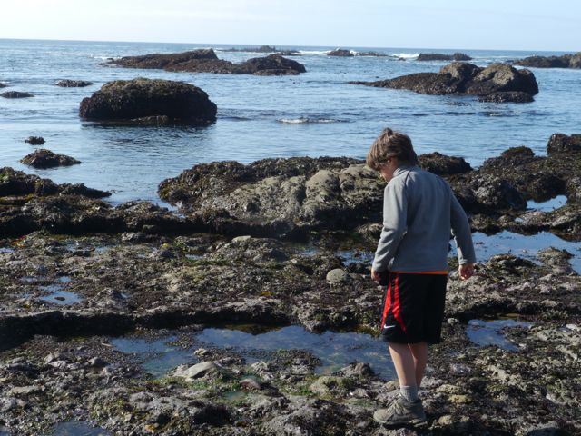
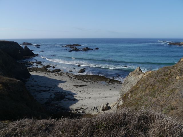
The next day, we hung out in the morning and did school. Then, after lunch, we headed out for some sight-seeing. First stop, “Glass Beach”. This is where a former landfill has eroded over the years by the waves. It has created a “pebble-like” beach, intermixed with small pieces of glass. The glass has been broken and rounded into little glass pebbles (white, green, amber mostly). Glass Beach was highlighted for us by a Redwoods NP Ranger the week before. I have to say, this has either been “picked over” over time, or it’s the best marketing campaign in the history of Chamber of Commerces. It was really a mediocre beach, smelly, covered with flies, with a modest amount of glass in it.
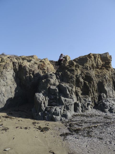
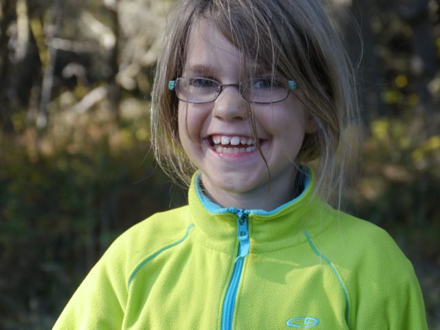
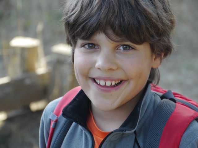
That said, our kids still enjoyed it, Kane had fun climbing around on the rocks. Kat had fun looking and collecting glass (which she had to put back based on rules). I was glad we found the glass, but ready to go!
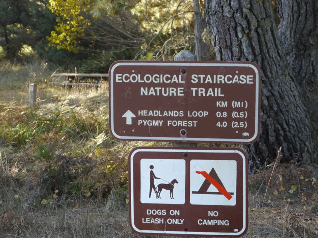
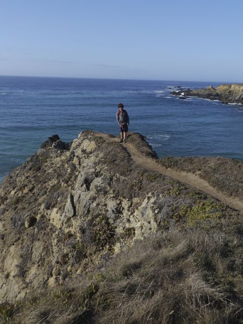
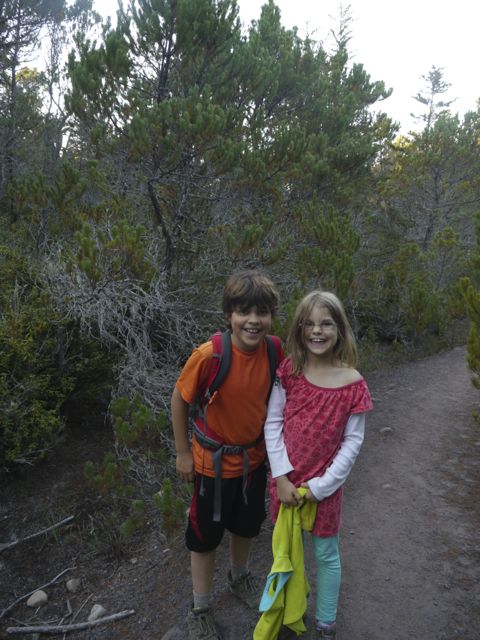
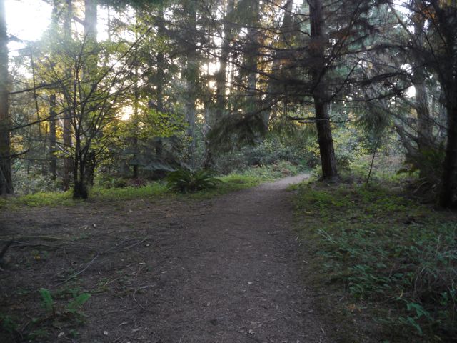
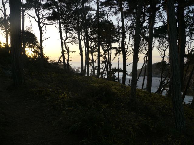
Next stop, the Ecological Staircase Nature Trail. This is an area along the coast where within a 3 mile trail, you can experience 5 different eco-systems. Evidently, the coast here is continuously rising over time. Every 100,000 years or so, the whole coast lifts enough to raise the others and create distinct environments for plants/animals.
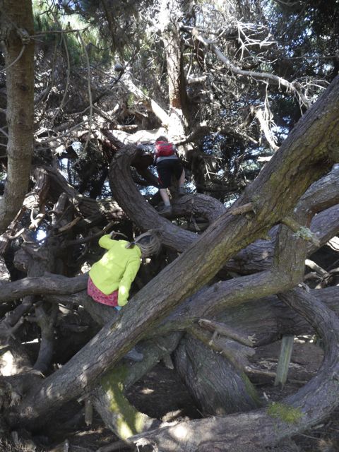
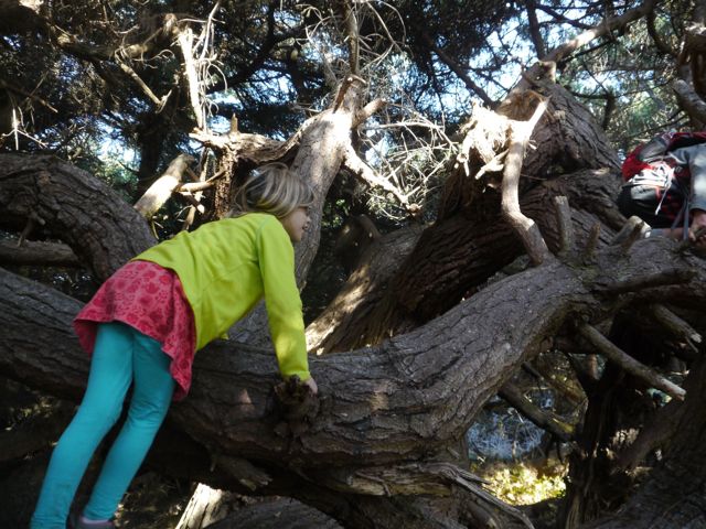
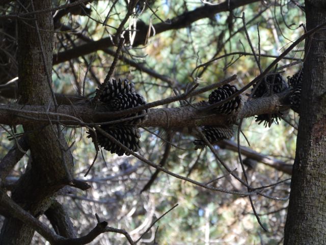
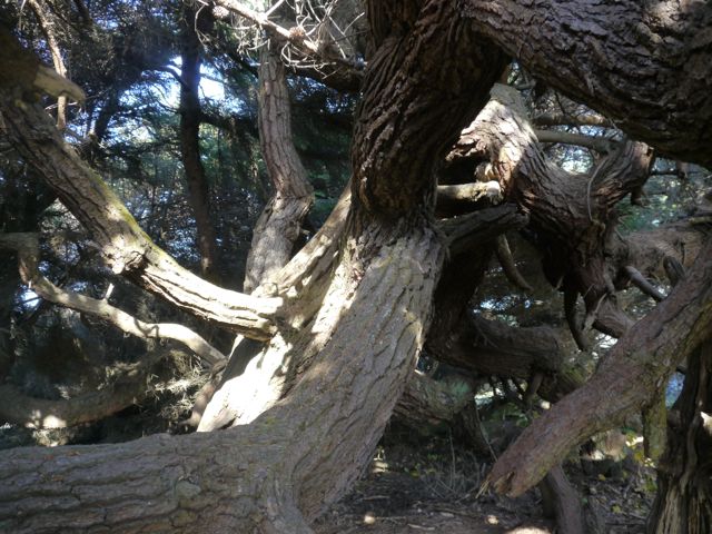
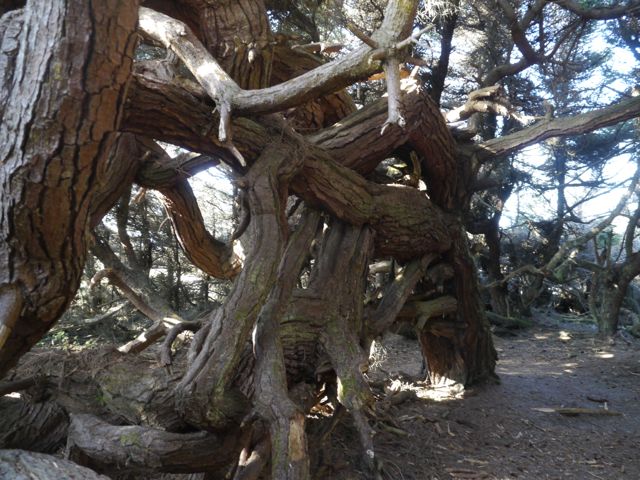
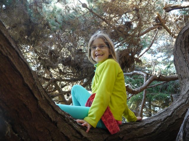
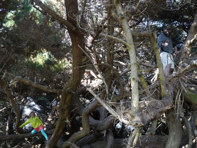
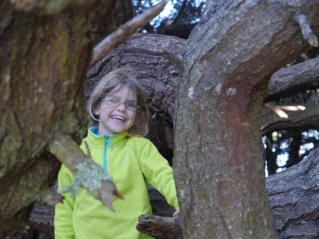
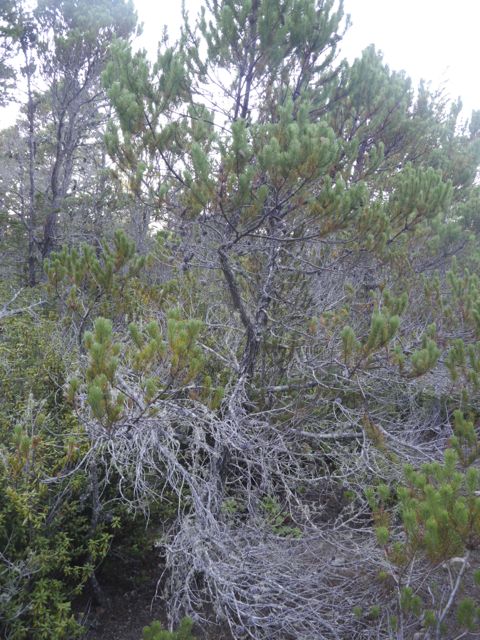
The highlight, by far, was finding a really cool Bishop Pine tree on the trail. See pics below, but this tree was an amazing mass of twisted branches, all large and strong enough to climb on safely. The whole thing was covered by a canopy of green needles.
We (Kat) found a couple of nice King Bolete mushrooms near the end of the hike, in the pygmy forest. We quickly ate them that night, with our “korean beef” for dinner! Yum! All in all, not a bad place to kill a couple of days, but not a destination.
From the CA state parks site:
Ecological Staircase Trail
This trail takes the visitor on a tour of the geological updrift from the coast to the Pygmy Forest two and a half mile inland. This marine terrace sequence illustrates a successional story unparalleled elsewhere in California. The composition and processes responsible for this unique ecological setting offer a diverse selection of interpretive opportunities.
Jug Handle State Natural Reserve is a special place. Few places on earth display a more complete record of ecological succession. Each of the five terraces represents one stage in a progression of successional environments. Jug Handle, then, is one of the few opportunities to interpret this aspect of the coastal spectrum of ecological succession and landscape evolution.
The material base from which the terraces were fashioned is composed of a uniform body of graywacke sandstone (Bailey and Erwin 1959). Although each terrace has evolved from the same parent material, each has been weathered for different lengths of time. The soils, plants, and hydrologic associations on each terrace are affected by the degree of change the weathering has produced in the sandstone (Fox 1976 p. 5).
The structure of the terraces at Jug Handle is a result of the movement of the earth’s crust (plate tectonics) and the fluctuation of sea level during the Pleistocene. In the last several million years, the continent of North America has moved northwest, and the coastline along the Mendocino coast has risen slowly in relationship to the increase of the sea level brought on by the melting of the continental glaciers. These two factors are massive agents in the shaping of land forms and are rarely seen so clearly outside the desert regions of the world.
The principal sculpturing agent at Jug Handle has been the sea. During periods of the Pleistocene when the glaciers were retreating northward, sea level rose more rapidly than the land was rising. As the pounding waves were uplifted onto the land, they fashioned a smooth underwater terrace. With renewal of glaciation, the waves slowly receded as the sea level fell.
Deposits of gravel and sand (beach material) were spread across the emerging terrace by the retreating waves (Jenny 1973 p. 8). Continued uplifting raised the terrace clear of subsequent rises in sea level. In this fashion, new terraces were created where older ones had existed. Terrace No. 5 (the oldest) was once at the elevation now occupied by No. 4 and so on.
This repetitive sequence proceeded at intervals of approximately 100,000 years and involved about 100 feet of uplift to form each of the terraces. The higher the terrace the older it is, and the longer its beach materials have been subjected to weathering.
Another active agent forming the land at Jug Handle has been the wind. Coastal breezes have been depositing beach material on the first terrace where the bluffs are low. Similarly, in the past the seaward edge of each terrace was covered with dune-building material that is now ancient.
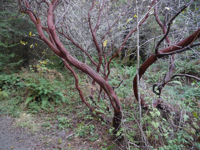
Pics!:
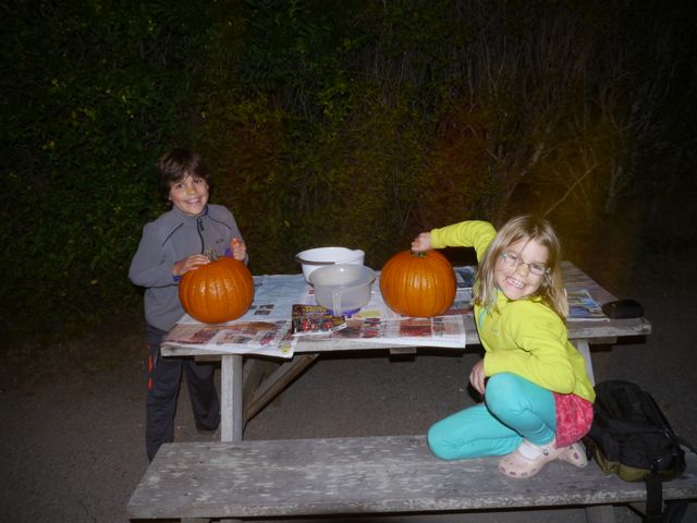
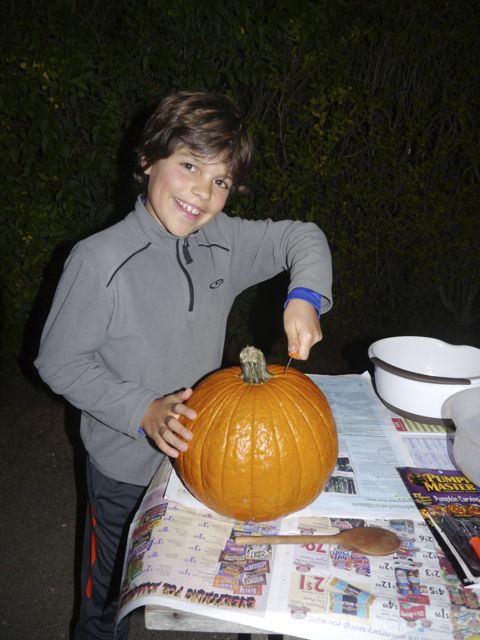
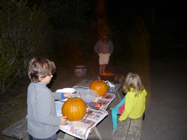
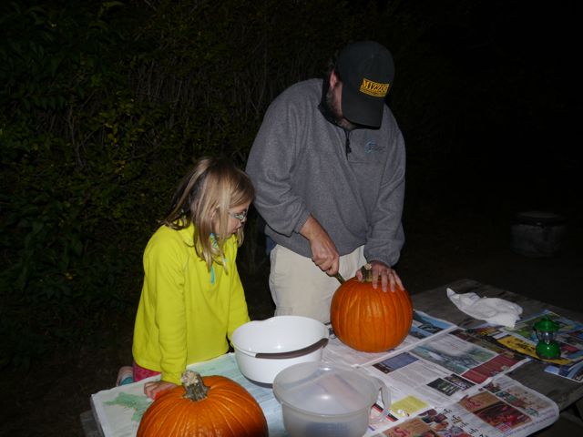
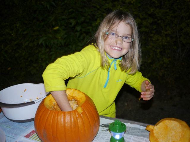
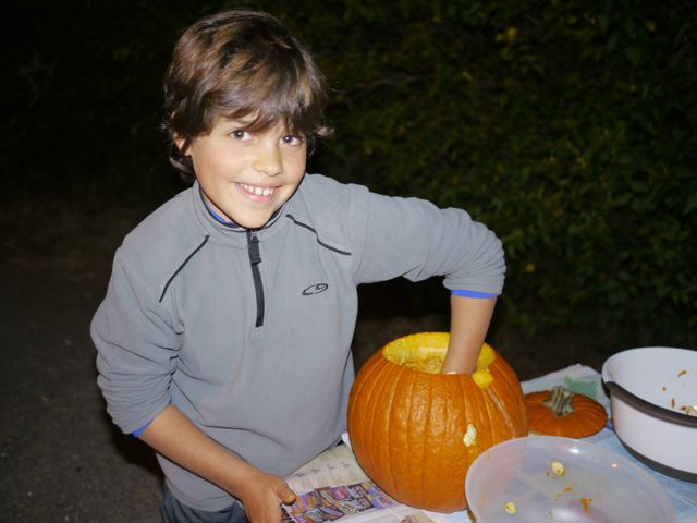
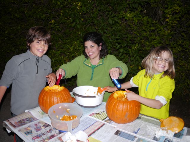
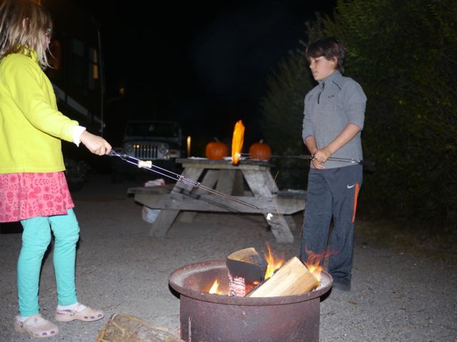
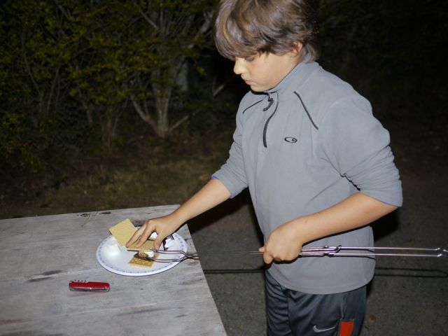
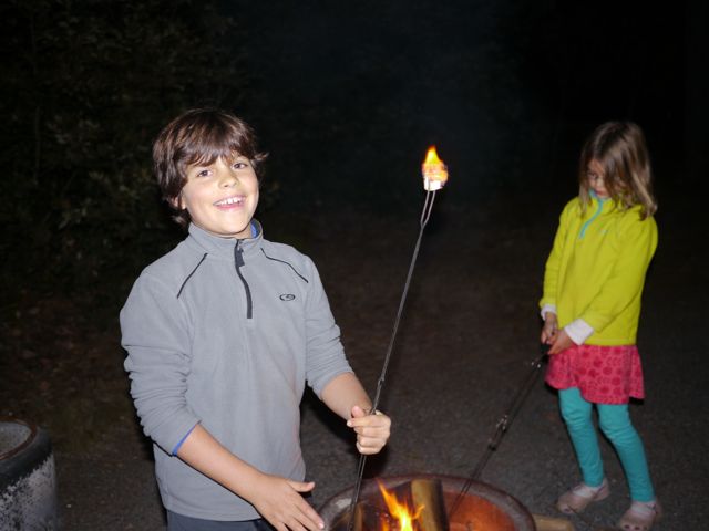
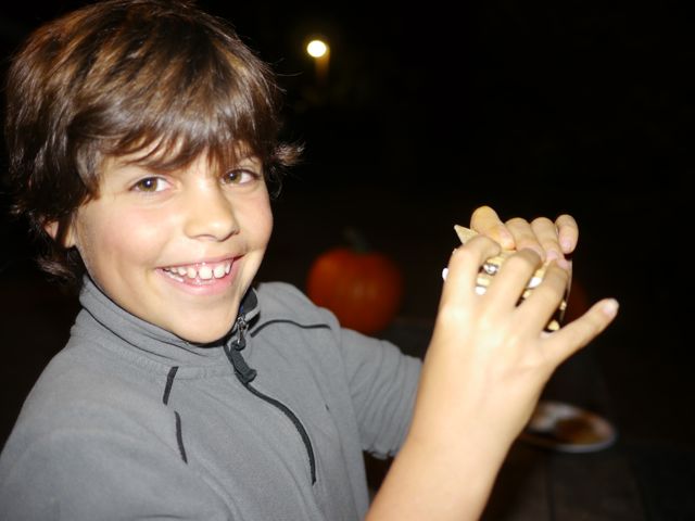
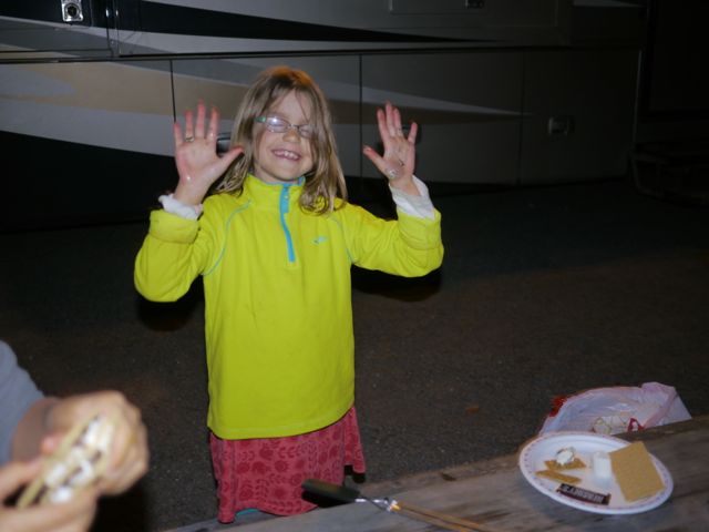
After the hike/dinner, we started carving our pumpkins. We decided to get them cleaned out, and do smores, rather than finishing the jack-o-lanterns this night. It was a fun evening!

